

As Winter Set’s Head to Maupin
Discovering Maupin
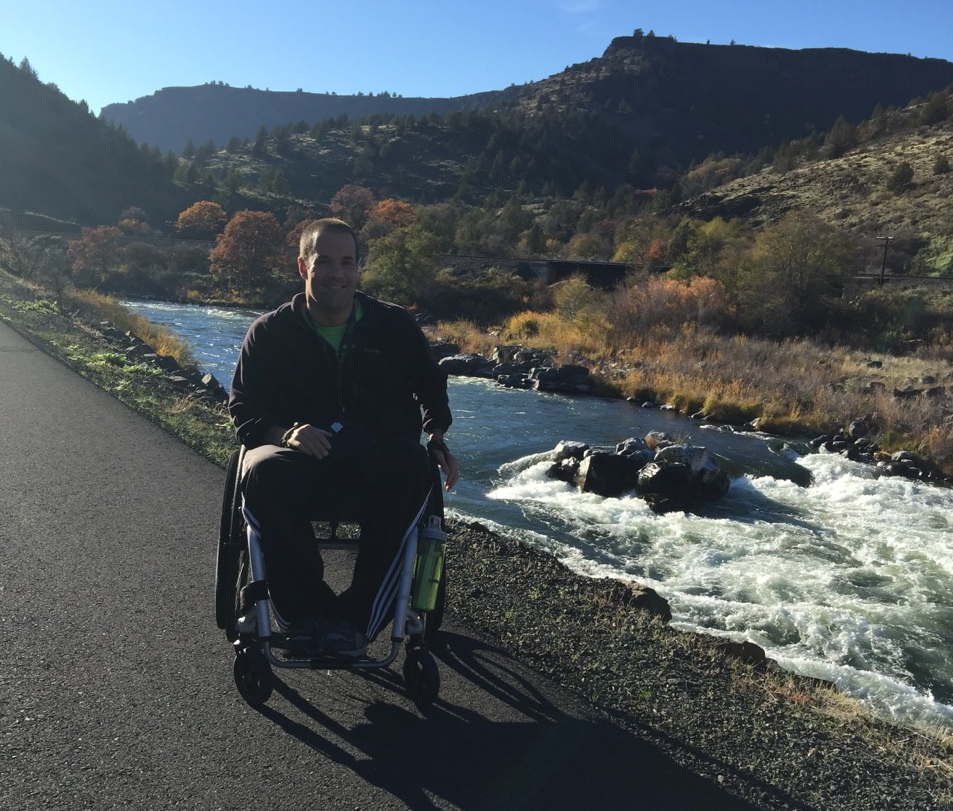
This hope is what took me to Maupin, Oregon recently on a hiking adventure. To my de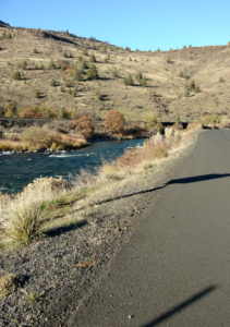 light, I found a stretch of very lightly traveled road that parallels the Deschutes River. It did not come without some consternation. I did a 100 mile bike ride around Maupin 10+ years ago and had this paved road in my mind from that former experience. I had failed to remember the cattle crossing grates that I had very easily walked my bike across previously. So, the “work around” involved parking in between cattle crossing grates that were about 2.5 miles apart. With an out and back I was able to get just over 5 miles of hiking in. This road was the most tranquil setting for a hike that I have experienced yet. The constant sound of the flowing water was very soothing; combined with about as flat of a grade as you will find made the hike pretty grand effort wise. I actually felt like I was going slightly downhill the entire time.
My Route
To get to Maupin from Portland, I took Highway 26 to Mt. Hood, then continued on 216/197. This is likely the most direct and scenic route. Once in Maupin, I pushed along a road labeled “BLM Access Road” on Google Maps. The first cattle grate on the route is located at coordinates 45.166399, -121.088219. I recommend parking on the southwest side of the grate for easier access. After the hike, I was definitely in a caloric deficit. To fix that, I drove north on 197 to The Dalles, then took I-84 to Hood River. There, I refueled with some well-earned beer and pizza before heading back to Portland. I hope to return to this area when winter sets in and the rain hits Portland. How about you—where do you go for adventure and exercise during the rainy season?